
The Realities of Road-Tripping the US National Parks
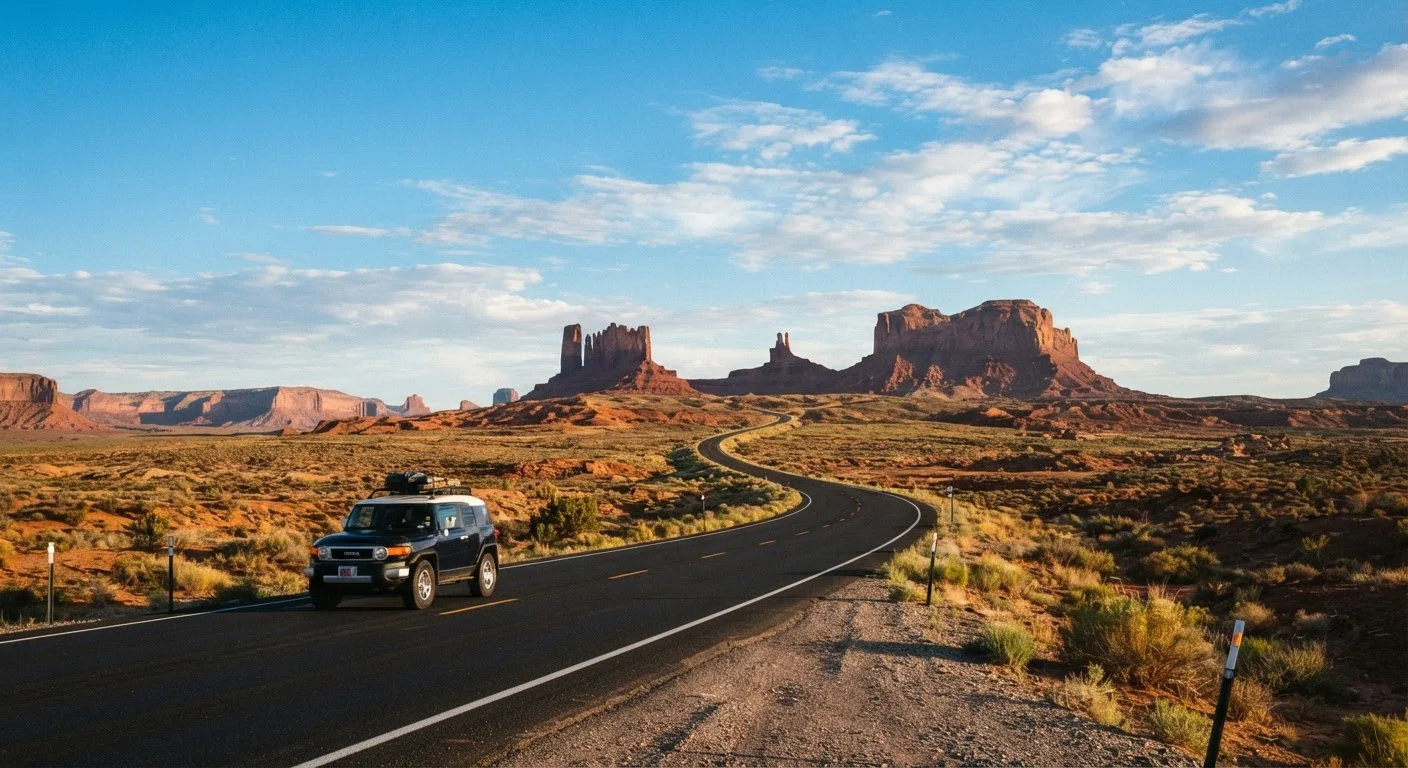
Photo credit: PrimeReads.net | Discover Insightful And Creative Blogs
In this article
Permits, crowds, distances, and seasonal closures — what travellers often underestimate about national park trips.
Key Takeaways
- Many popular national parks require timed-entry permits that sell out weeks or months in advance.
- Distances between park entrances and trailheads are routinely underestimated, adding hours to daily plans.
- Seasonal road closures and weather events can shut down key routes without advance notice.
- Cell service is unreliable or absent in most national park interiors - offline maps are essential.
- Budget for park entrance fees, camping reservations, and fuel gaps in remote corridors.
Why National Park Road Trips Catch Travelers Off Guard
A US national park road trip ranks among the most rewarding travel experiences available - and among the most commonly underplanned. Social media feeds full of uncrowded overlooks and spontaneous sunrises create an impression of effortless adventure that rarely matches the ground truth. Parking lots at Zion's Angels Landing trailhead fill before 6 a.m. in summer. The road to the top of Mount Rainier closes for snow into June. A campsite at Yosemite Valley can require reservations secured five months earlier.
None of this should discourage a trip. It should reshape how you plan one. See our step-by-step trip planning guide for a framework that applies directly to park itineraries, then come back to avoid the specific mistakes below.
Assuming you can secure permits, campsites, or parking on arrival.
Why it happens: Travelers familiar with state parks or international destinations expect walk-up availability, not realizing that federal permit systems for popular parks are heavily competitive and often lottery-based.
Underestimating driving time between stops on a multi-park itinerary.
Why it happens: Maps make parks look close together, and travelers focus on straight-line distances rather than actual road conditions, elevation changes, and speed limits on mountain or canyon roads.
Ignoring seasonal road closures and weather-related access restrictions.
Why it happens: Itineraries are often built around a destination's highlight - Half Dome, Trail Ridge Road, the Going-to-the-Sun Road - without verifying those routes are open during the planned visit window.
Over-scheduling hiking and activities without accounting for altitude or heat.
Why it happens: Travelers plan mileage they can comfortably walk at home, not realizing that elevation above 8,000 feet, desert temperatures over 100°F, or exposed ridgelines significantly affect pace and safety.
Relying on cell service for navigation, bookings, or emergency communication.
Why it happens: Smartphones work everywhere in daily life, so travelers assume connectivity inside park boundaries. Most park interiors have no reliable signal.
Distances, Connectivity, and Budget Realities
Even experienced road trippers are surprised by the scale of the American West. Grand Canyon South Rim to the North Rim is only 10 miles as the crow flies - but a 215-mile drive. Driving across a single park like Death Valley can consume most of a day. Build realistic drive times into your plan using a day-by-day itinerary structure rather than a rough mile estimate.
325M+
Annual US national park visits
The National Park Service reported over 325 million recreational visits across the national park system in a recent annual count, with a handful of marquee parks absorbing the majority of that traffic.
~80 miles
Typical no-fuel corridor in remote park areas
Several park road segments in the American West, including stretches through Death Valley and the North Cascades, pass 80 or more miles without a fuel stop, according to NPS visitor guides.
Cell coverage disappears quickly once you leave gateway towns. Download offline maps, park PDFs, and trail information before you arrive - do not rely on data signal for navigation or emergency information inside park boundaries. Fuel is another overlooked variable: some park corridors have no gas stations for 80 to 100 miles, and prices at the few that exist within park boundaries are substantially higher than regional averages.
Entrance fees, camping reservations, shuttle passes, and permit lotteries each carry their own costs and booking windows. A realistic travel budget for a national park trip should account for all of these well before departure. For a broader look at how seasonal timing affects costs and crowds, off-season travel trade-offs are worth weighing against peak-season permit competition.
This article provides general travel information. Permit systems, road conditions, and park policies change frequently - always verify current details directly with the National Park Service before your trip.

Author
Travel Editorial Team
Travel Editorial Team is the collective byline for our editorial team and contributor network. Articles published under this byline or an editorial pen name are researched, written, and reviewed according to our editorial standards for clarity, consistency, and independence before publication.
View all articles →